پرونده:Lebanon adm location map.svg

اصلی پرونده (اسویجی ِپرونده، ابعاد ۹۹۲ × ۱٬۱۴۱ پیکسل جه، پرونده قایده: ۱۳۳ کیلوبایت)
|
|
این پرونده ویکیتلمبار دله دَره. ونه دلهی بنویشتهئون (مازرونی) ره اینجه سِراق دنه. |
کار ِگزارش
| توضیح |
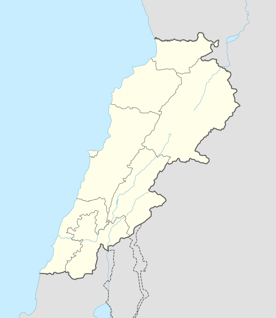
Deutsch: Positionskarte von Libanon
English: Location map of Lebanon
|
||||||||||||
| تاریخ | |||||||||||||
| منبع |
Own work using:
|
||||||||||||
| سازنده | NordNordWest | ||||||||||||
| SVG genesis | کد مبدأ این پروندهٔ گرافیک برداری مقیاسپذیر، معتبر. این نقشهٔ جهان با Adobe Illustrator ساخته شده است
|
||||||||||||

اجازهنومه
Usage of this file with:

explanatory notes: Legally binding is only the full legalcode. For a free usage I recommend to respect the following licence conditions:
1. Provide my name as given above: NordNordWest,
2. a copy of, or the URI for, the applicable license: https://creativecommons.org/licenses/by-sa/3.0/de/legalcode,
3. the title of the work,
4. in the case of an adaptation, a credit identifying the use of the work in the adaptation.
This license and the rights granted hereunder will terminate automatically upon any breach by you of the terms of this license. Any of the above conditions can be waived if you get permission from the copyright holder. If you have questions or wish differing conditions, please contact me through nnwest or my discussion page ![]() t-online.de
t-online.de
- شما اجازه دارنی:
- اشتراک بییشتن وسّه – پروندهی ِکپی، توزیع و انتقال وسّه
- ریمیکس هاکردن – پروندهی انطباق وسّه
- این شرایط جه:
- تخصیص – شما ونه اتجور بنویسین که اثر ِصاحاب ره نسبت هِدا بَوو، نا اینکه اتتی بنویسین که مخاطبون فکر هاکنِن اون آدِم شمه بنویشته ره تأیید کانده.
- اتتی سهم – اگه عکس سَر فقط اتکه تغییر هِدانی، بتونّی همون مجوز جه استفاده هاکنین.

فایل تاریخچه
تاریخ/زمونها سَر کلیک هاکنین تا اون گدِر ِنسخه ره هارشین.
| تاریخ/زمون | انگوسگتی | ابعاد | کارور | توضیح | |
|---|---|---|---|---|---|
| إسا | ۲۰ سپتامبر ۲۰۱۶، ساعت ۱۴:۲۹ | | ۹۹۲ در ۱٬۱۴۱ (۱۳۳ کیلوبایت) | NordNordWest | corr |
| ۵ آگوست ۲۰۱۶، ساعت ۰۸:۳۷ |  | ۹۹۲ در ۱٬۱۴۱ (۱۳۴ کیلوبایت) | NordNordWest | corr | |
| ۱ فوریه ۲۰۱۵، ساعت ۱۶:۵۴ |  | ۹۹۲ در ۱٬۱۴۱ (۱۳۳ کیلوبایت) | NordNordWest | == {{int:filedesc}} == {{Information |Description= {{de|1=Positionskarte von Libanon}} {{en|1=Location map of Lebanon}} {{Location map series N |stretching=115 |top=34.9 |bottom=32.8 |left=34.8 |right=36.9 }} |Source={{Own using}} * United States Natio... |
پروندهی استفاده
این صفحه لینک هِدانه این فایل ره:
پروندهیِ گِردِ استفادهئون
این ویکیون هم این پرونده جه استفاده کانّه:
- کاربرد ar.wikipedia.org دله
- بعلبك
- الحر العاملي
- حبشيت
- الزواريب
- حلبا
- الشيخ محمد
- حاصبيا
- فنار (جبل لبنان)
- مقنة
- قصر الهرمل
- الدوري اللبناني الممتاز
- عصر الرعاة الحجري الحديث
- وحدة:Location map/data/Lebanon
- وحدة:Location map/data/Lebanon/شرح
- قالب:خريطة مفصلة للتمرد اللبناني
- الدوري اللبناني الممتاز 2017–18
- اشتباكات شمال لبنان (2014)
- الدوري اللبناني الممتاز 2018–19
- الدوري اللبناني الدرجة الثانية 2018–19
- قلعة البسترة
- الدوري اللبناني الممتاز 2016–17
- الدوري اللبناني الممتاز 2008–09
- الدوري اللبناني الممتاز 2010–11
- الدوري اللبناني الممتاز 2011–12
- الدوري اللبناني الممتاز 2015–16
- حادثة إطلاق النار في طرابلس 2019
- معركة صيدا (1991)
- بقعاتا (منطقة)
- معركة طرابلس (1983)
- الدوري اللبناني الدرجة الثانية 2020–21
- الدوري اللبناني الدرجة الثانية 2021–22
- الدوري اللبناني الممتاز 2023–24
- الدورة (لبنان)
- کاربرد arz.wikipedia.org دله
- کاربرد ast.wikipedia.org دله
سراسری استفاده ره این پرونده جه سٮراق هاده.